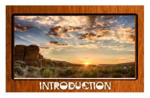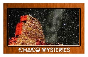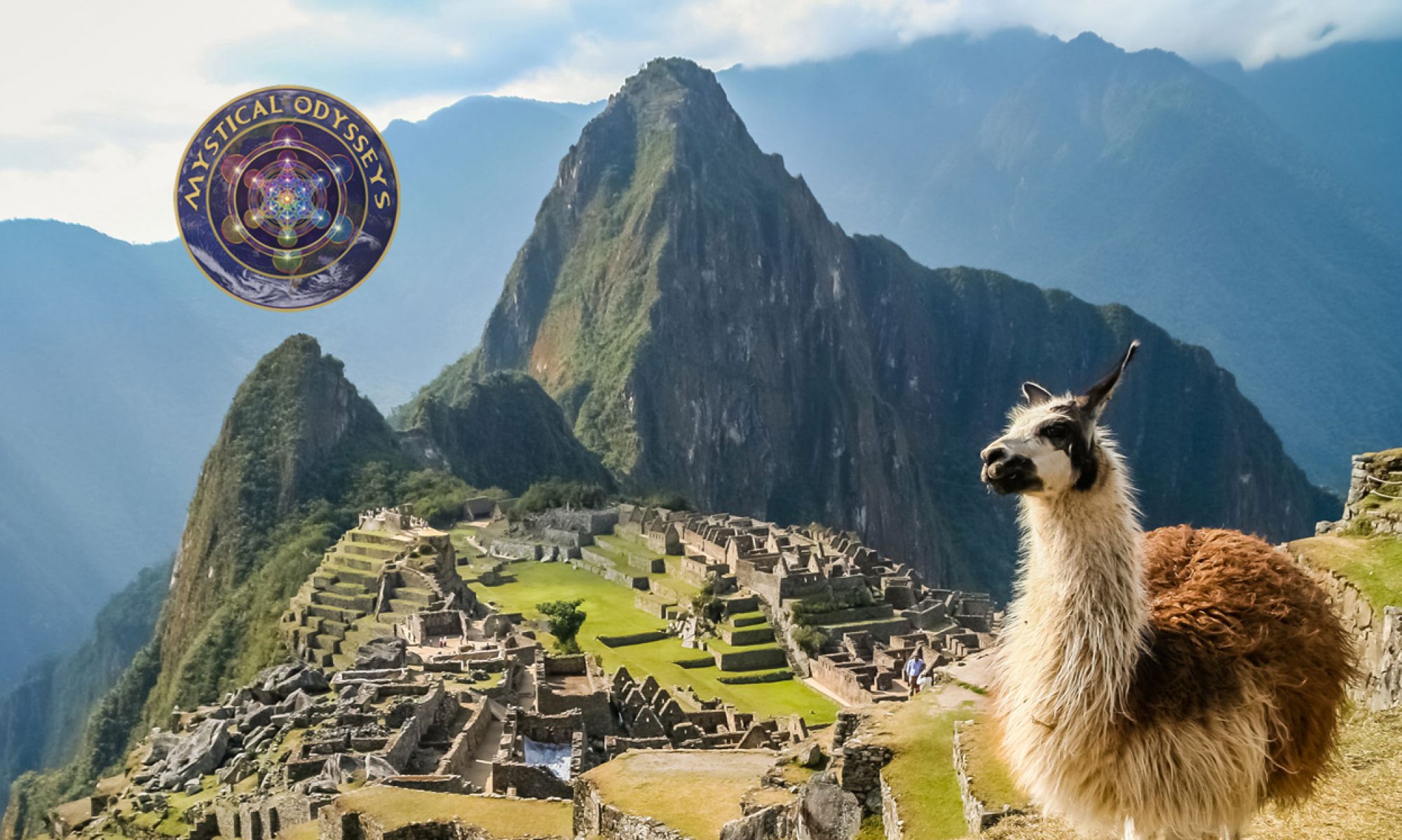


The Mysteries of Chaco Canyon
For over 2,000 years, ancient Pueblo peoples occupied a vast region of the south-western United States. Chaco Canyon, a major center of ancestral Pueblo culture between 850 and 1250 AD, was a focus for ceremonials, trade and political activity for the prehistoric Four Corners area. The Puebloans quarried sandstone blocks and hauled timber from great distances, assembling fifteen major complexes that are thought to have been the largest buildings in North America until the 19th century. The massive multi-storied buildings oriented to solar, lunar, and cardinal directions, the high level of community social organization, and its far-reaching commerce, created a cultural vision unlike any other seen before or since in the country. However, all of this suddenly collapsed in the 13 th century when the centers were mysteriously abandoned and were never revived. No one knows why, what happened or where they went.
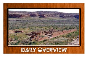
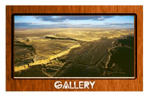
The Greater Chaco Canyon area is a significant historical, archaeological and sacred site in northwest New Mexico. From the 9th to the 11th century, it was the center of the Pueblo civilization, comprised of dense apartment-like structures (pueblos), ceremonial kivas, plazas and an extensive network of roads. The site is considered sacred to multiple Native American tribes and has been listed as a UNESCO World Heritage Site since 1987.
Initiatives since the 1980s to protect and study the ancient Chacoans have found more than 2,400 archaeological sites within the Chaco Culture National Historical Park boundaries, the vast majority of which have not been excavated. The actual number of sacred sites and artifacts in the area is not known. Although Chaco’s significance is debated by archaeologists, it is agreed that it was likely a trading crossroads and ceremonial center, with excavations unearthing vessels containing chocolate, macaw remains, conch shell trumpets, turquoise and other evidence of visitors from afar.
While it’s unknown if Chaco was a political empire, a strong cultural collective, or a diffuse group of clans sharing common architecture, it is clear that the entire region was part of a vast cultural tapestry woven intimately into the natural landscape. This history is of deep importance to the living ancestors of the ancient Pueblo people who live in communities in New Mexico and Arizona.
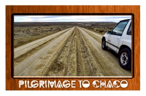
Chaco Canyon is a sacred pilgrimage site for those who believe their ancestors still dwell in the ancient city.
We do not actually know what these people called themselves; the word Anasazi is a Navaho word meaning variously “the ancient ones” or “the enemies of our ancient fathers.”
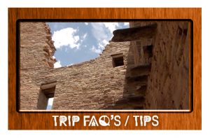
Most of the buildings are aligned precisely to the cardinal directions, north, south, east, and west. Each one seems to be a piece of a giant puzzle. These are the ways that they tracked time and seasons.
Radiating out from the Chaco complex are an enigmatic series of straight lines that extend ten to twenty miles into the desert. Conventional archaeological theories explain these lines as roads leading to outlying settlements, but this seems highly unlikely, as the lines are arrow straight regardless of terrain. They go over mesas (table-top mountains), up and down vertical cliff faces, and along ways that make them utterly impractical for use by the casual or commercial traveler. Perhaps they had another purpose.
Paul Devereux, a British scholar and writer in the so called “Earth Mysteries” field has suggested that these lines (and others he has studied around the world) are better understood as markings that represent the out-of-body spirit travels of ancient shamans. Archaeological research does indeed indicate that the lines often lead to small shrine-like structures where evidence of religious and shamanistic activity is common. These mysterious lines, sometimes apparently between no particular places, are found in many parts of the Anasazi region.
More than five hundred miles of the lines have so far been charted. Nowadays they are mostly visible only from the air in the early morning or late afternoon, when the sun casts deep shadows. Inspecting these lines at ground level, it is evident that they have been acted upon by many hundreds of years of natural erosion, which has obscured all but scarce remains. It therefore seems reasonable to suggest that these lines, prior to their erosion, could have been followed across great expanses of land, thereby delineating an enormous grid or map of sacred and shamanistic geography. Readers interested in these matters should consult the books of Devereux. listed in the bibliography.
Why were they there? How did they acquire the technology to build such massive structures? How did they know about the astral alignments and build such technologically advanced structures? Who were they? Where did they go?
All mysteries to be explored…